

Mission Valley and the River that Shaped It
 by Debbie L. Sklar / Times of San Diego / April 30, 2026
Mission Valley has never stayed still — and neither has the river that shaped it.
A river that shaped the valley
Before roads and retail defined the corridor, the San Diego River flowed freely through this inland Mission Valley basin, widening across the valley floor in wet years and retreating in dry ones. The result was a shifting floodplain that supported plant life, wildlife, and seasonal movement by the Kumeyaay people, who lived throughout the region long before Spanish settlement.
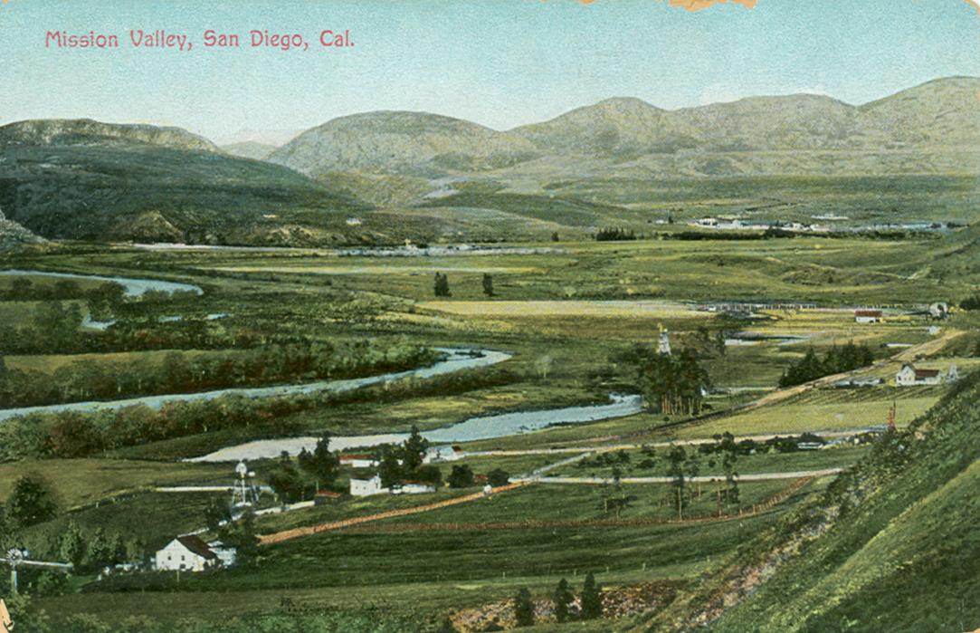
View of Mission Valley in about 1890. The view appears to be looking northeast. (Photo courtesy of the San Diego History Center)
With the arrival of Mission San Diego de Alcalá in 1769, land use in the surrounding area began to change. Spanish and later Mexican-era records describe the valley in agricultural terms — fertile ground for grazing and cultivation — reflecting a shift in how land and water were managed.
A seasonal ecosystem increasingly became structured around permanent settlement and production.
 by Scott Hopkins /
  By Severn Williams
 By Rag Staff
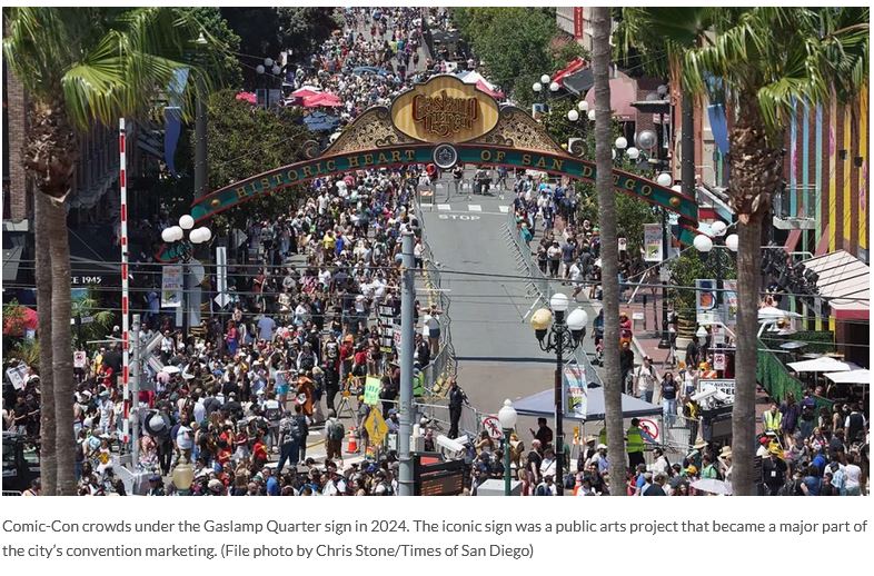 by Michael J. Stepner and Mary Lydon /
 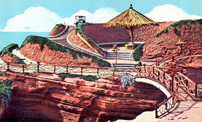 This is a call for OBceans and Point Lomans to join their neighbors tonight at a presentation by the City of San Diego on a seawall project that could permanently harm Sunset Cliffs.
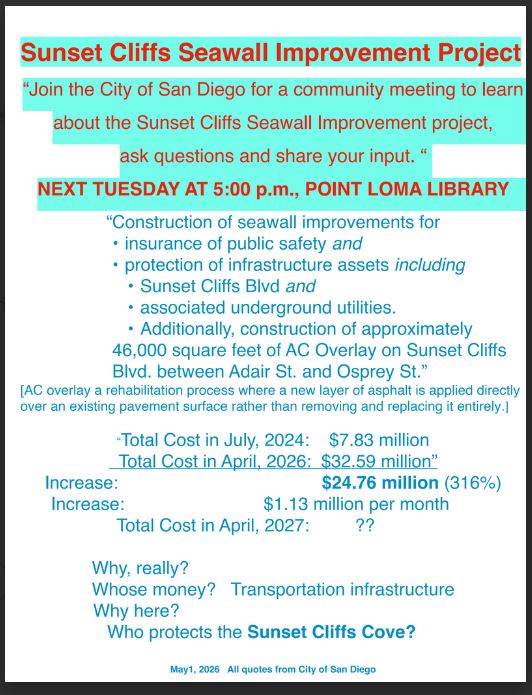
 The balloting for new Board members of the
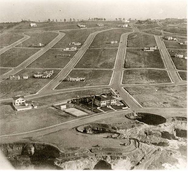 This vintage photo of Sunset Cliffs must be over a 100 years old (I’ll let Kathy Blavatt decide) as you can see that large pink mansion at the corner of Osprey.
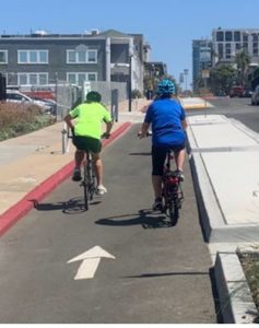 Editordude: Below is an unsolicited rebuttal to Kate Callen’s post on “Framing the news about bicycling” from Paul LeBlanc, a resident of PB.
 by Arturo Garcia /
  By Geoff Hueter of Neighbors for a Better San Diego


Recent Comments